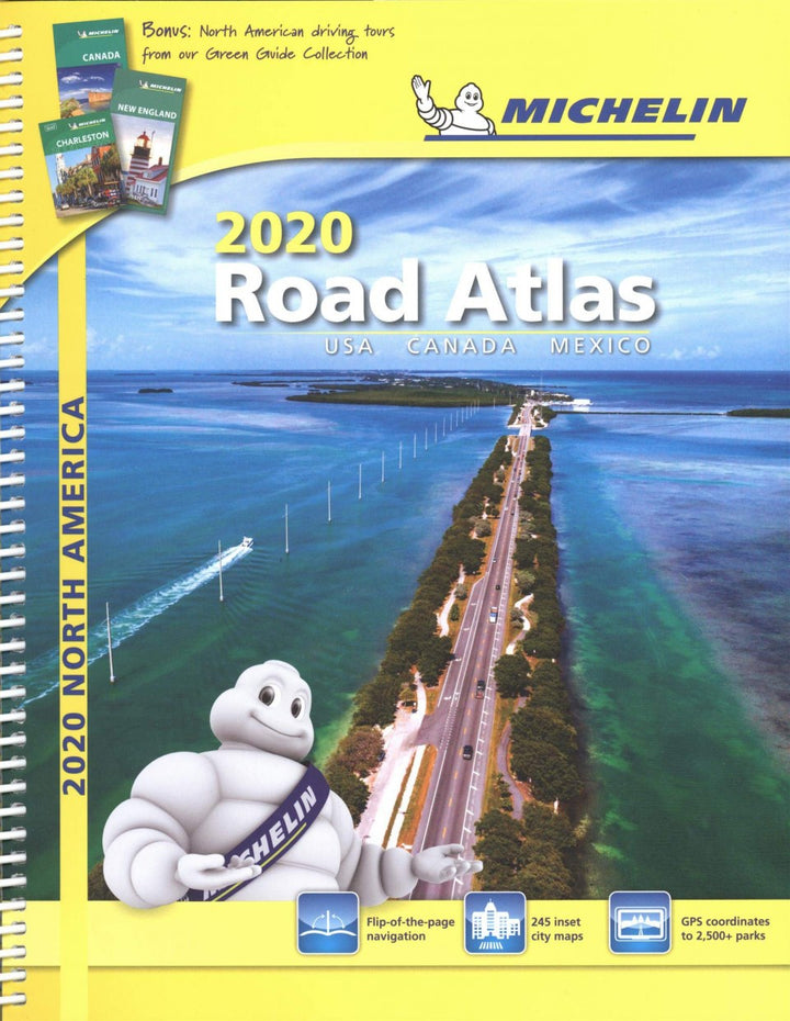
Michelin Standard North America Road Atlas
4407
Total add-ons:
- In stock, ready to ship
- Backordered. We will contact you with an estimated ship date.
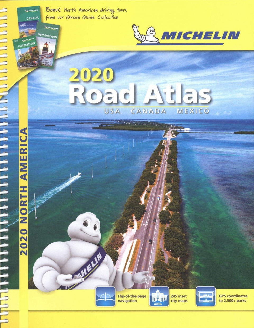
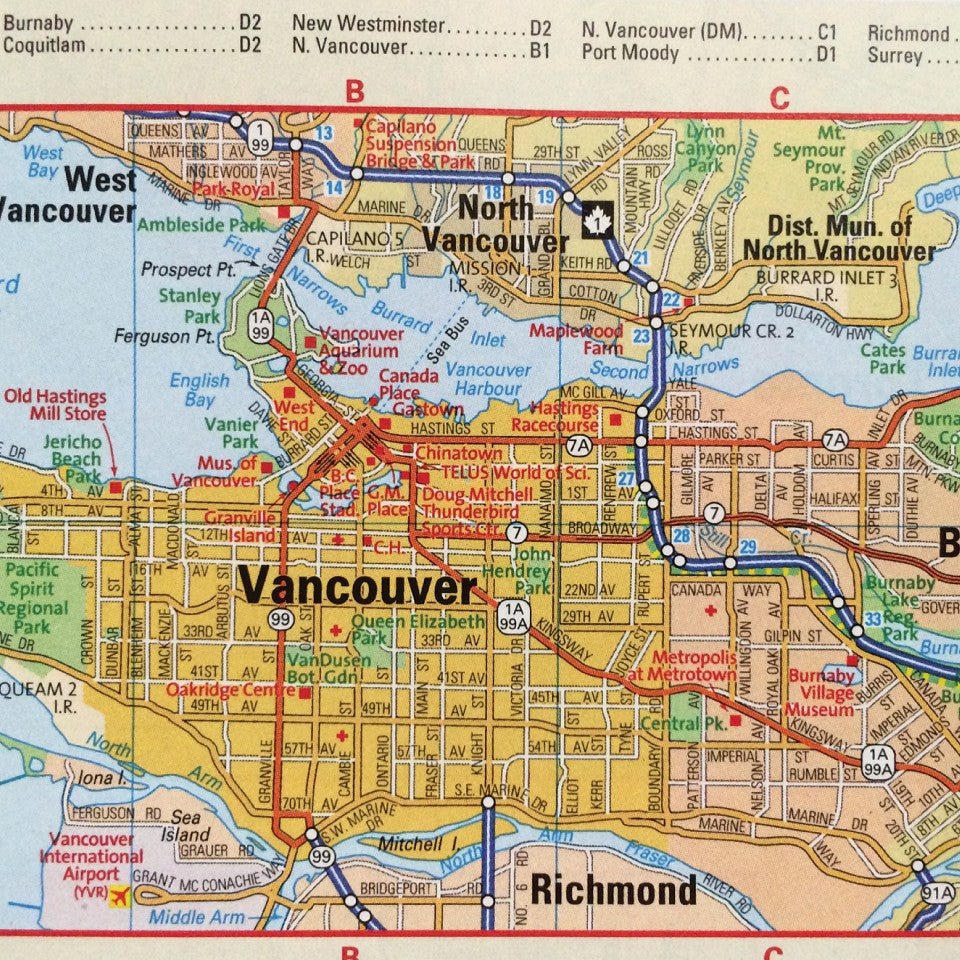
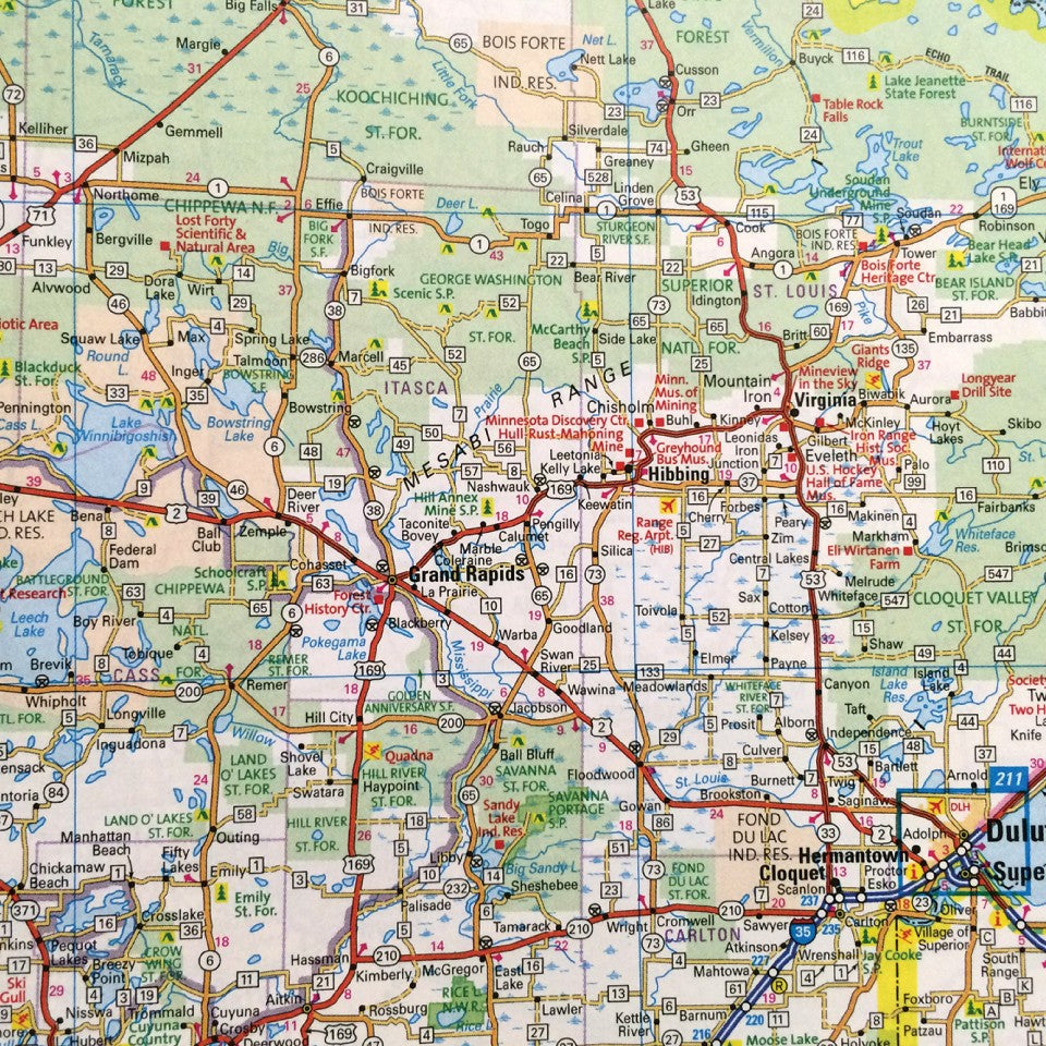
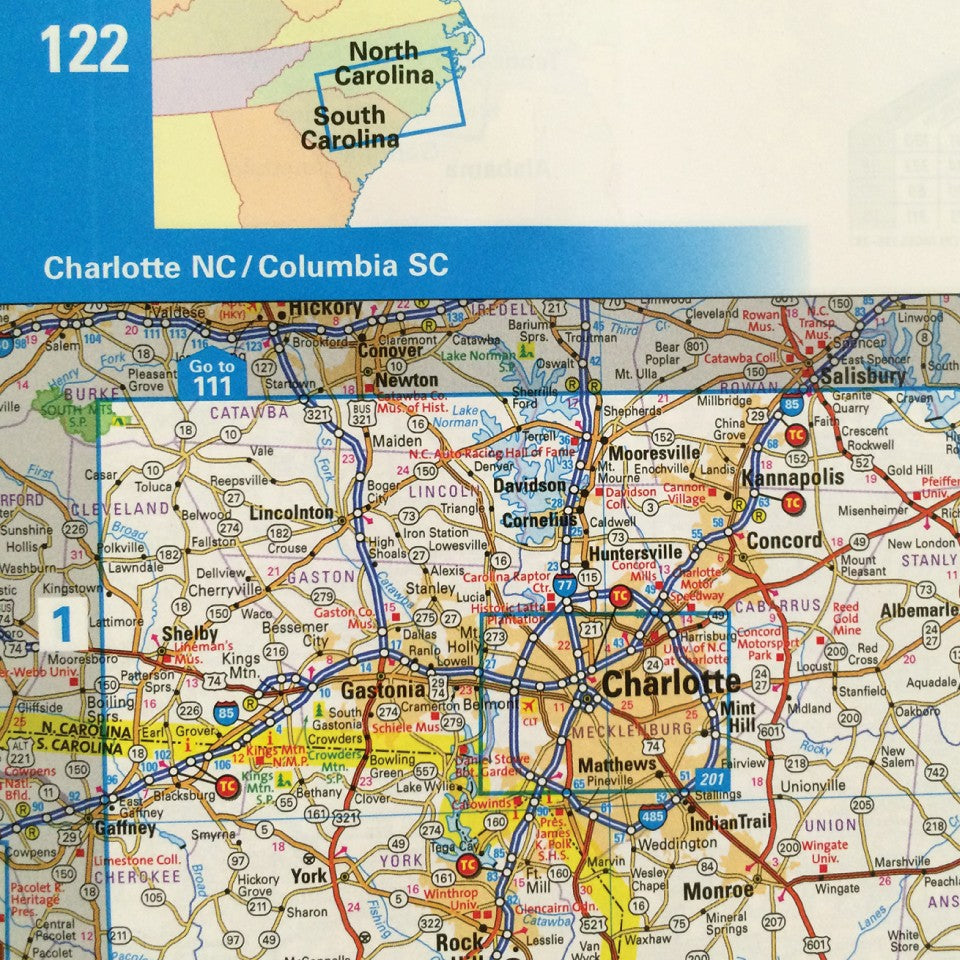
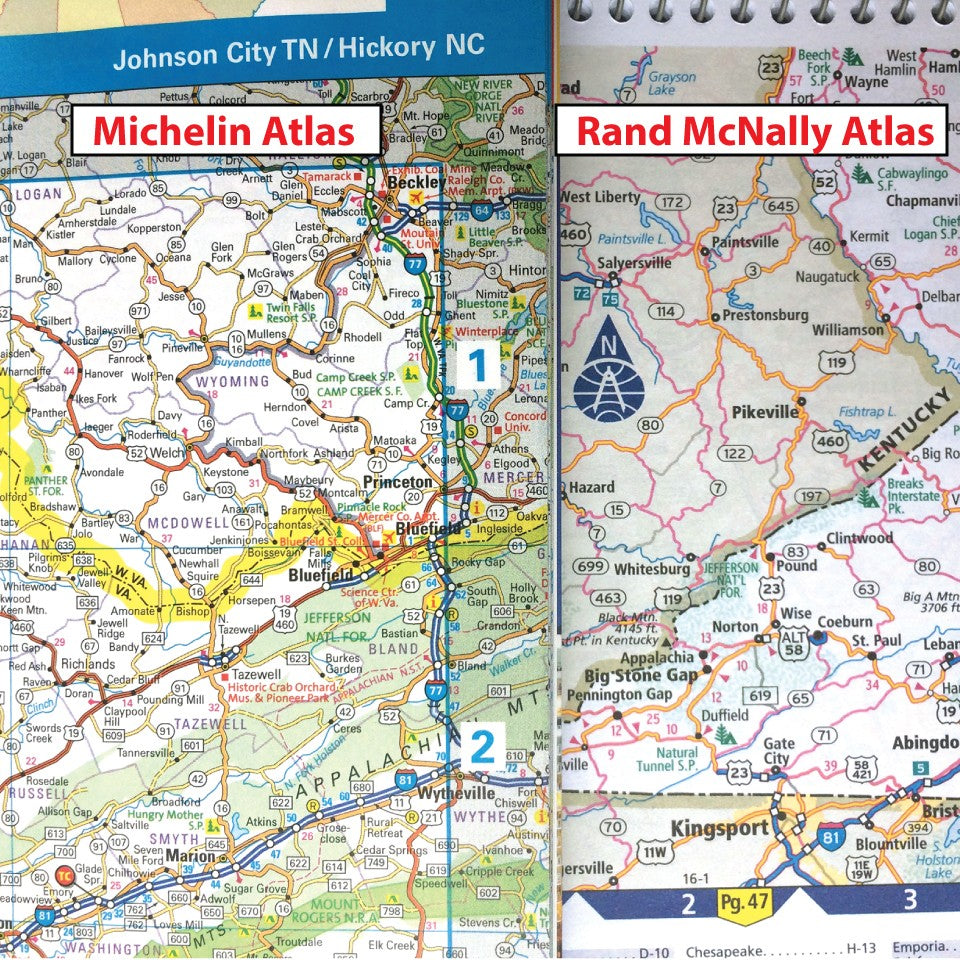
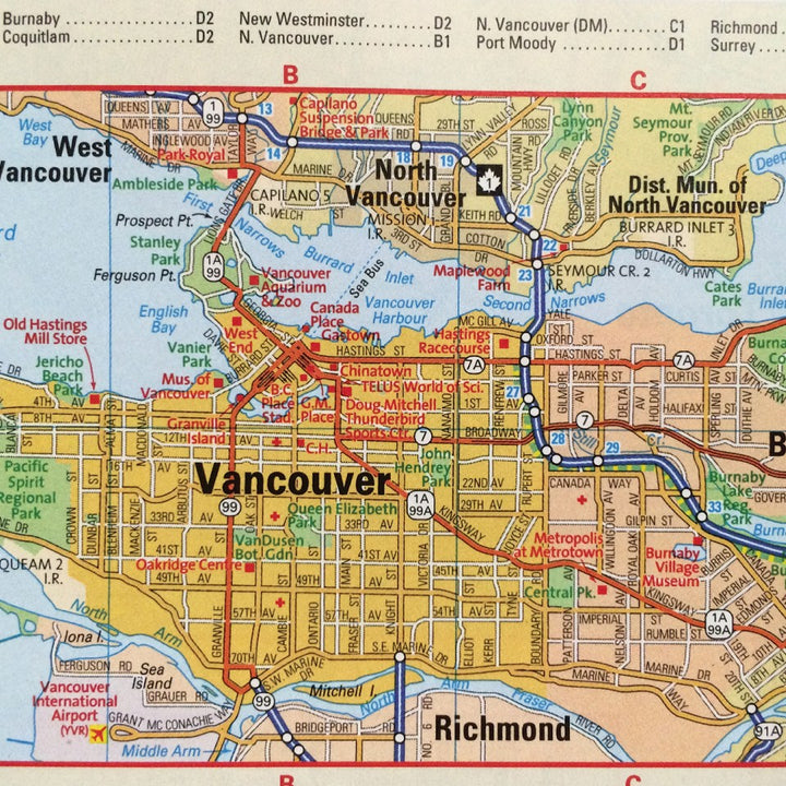
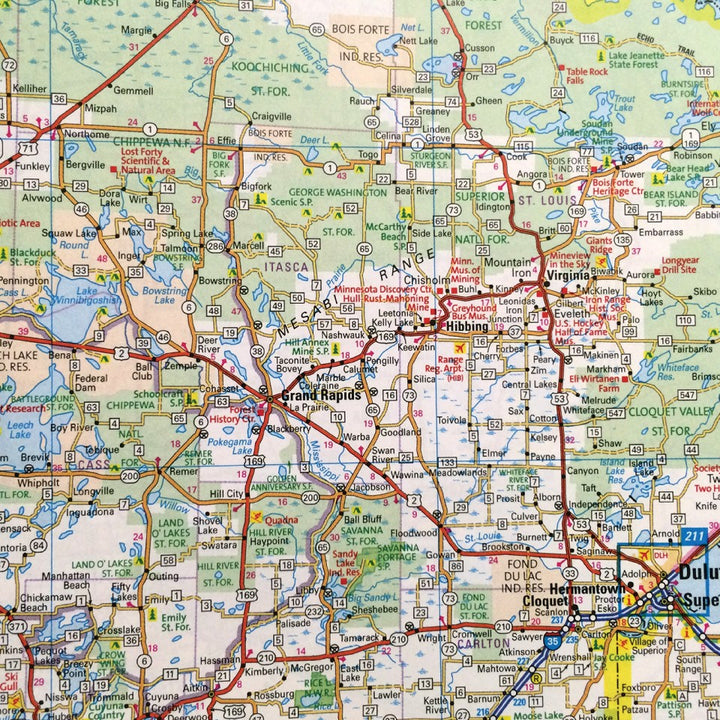
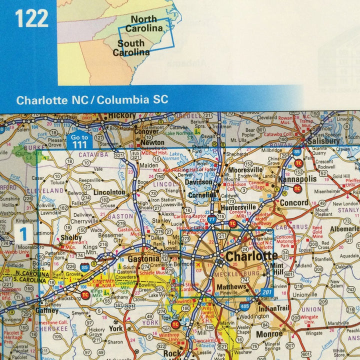
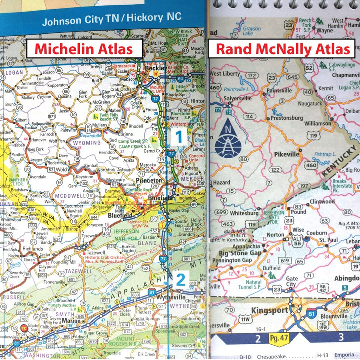
Michelin Atlases are famous because they are filled with details for route planning not found elsewhere. Both these and the Rand McNally Road Atlas provide a tactile feel and overview you just don’t get on a GPS or mobile navigation app.
Whether folding pages into a map pocket for on the fly navigation, or sitting down after that days ride to flip through pages and plan the next route, no digital replicant can quite compare to the look and feel of a printed map.
Exceptionally detailed, accurate mapping to get you anywhere you want to go, and the spiral binding allows you to unravel and remove pages to bring along just the maps you need. Includes six-page section of events and festivals across the country, and other useful guide-book stuff. Softcover, spiral bound. 9"×11", 304 pp., color illus.
Additional Information/Resources:
Pairs well with
Print books and catalogs present information far differently than websites, just as a print road map shows information far differently than a GPS screen. With an unfolded print map you see a ‘screen’ that is 24” x 32” (or whatever) in fine detail. Edge to edge. This makes print maps filled with nuanced potentialities one cannot experience with even a fairly large GPS screen.
It’s specifically those potentialities which inspire people to take great rides. GPS screens are important and useful, but they are always ‘zoomed in’ because when you zoom out you lose all detail. It’s exactly that high-res context provided by print maps which is so critical to figuring out a better ride between A & B. If you leave that planning to the GPS’s internal algorithms you end up letting someone else decide your route, and usually they are some programmer who doesn’t ride.
Our print catalog is the same way. It presents a critical context for gearing up to be a rider that one cannot receive from any website store — including ours. If there is a way to encourage you to try out a folded road map or a copy of the Aerostich print catalog, I know you would not be disappointed.
-- Mr. Subjective, 7-18
“Let’s go over that way, taking this river road shortcut thru there until we get to that cutoff, then we can go left to the bend here and then down onto this one where it goes west. We could maybe stop for lunch in this little town here, right by this crossing. And then...”
Only with printed maps do you see and understand the lay of the land fully. Everything in one sweeping overview with all the informational layering’s. The roads and features fully visualized with some useful shortcuts and all the longer (usually more interesting) ways around. Roadside café stops can be incomplete without a map to study and then carefully refold when your order arrives, no matter how tasty the local food is.
Any dedicated GPS or a smartphone navigation program will be fast and helpful for finding your way toward some destination in real-time, with the ETA included, but good maps and atlas’s remain the motorcycle riders most essential diagnostic wiring diagram for creating better riding and more interesting days, ranging from all-day back road weekend wanderings to multi-day multi-state overland explorations. Any GPS will algorithmically provide a fastest or a most direct route, but only you, using a well marked-up printed map, can create the BEST routes.
Good maps are where great rides always begin. I’ll get them out for any trip of more than a few hours, and will write directly on their paper-printed cartography using one of these grease pencils, running my line an eighth of an inch to the side of desired roads. Such marked-up whole-state pages from oversize atlas’s are customized wish lists of places to reach and roads to experience. They are torn out and folded to fit beneath a tank bag’s window, with more similarly marked-up folded map pages waiting just beneath. And on longer trips an envelope bag, map bag, loksak, or Tank Bag Briefcase holds even a few more. Many riders take along an entire atlas.
Embarrassingly, I also still carry an old small liquid filled orienteering compass inside my bathroom shave kit, and another even smaller compass inside a zippered odds-n-ends tank-bag pouch. I don’t remember the last time I wanted or needed either one. We stopped selling such compasses many years ago. They’re vaguely sentimental artifacts now, but they don’t take much space and perhaps add a slight psychologically reassuring emergency-backup-readiness-feeling for some kind of unlikely apocalyptic survival scenario. The one in the bathroom kit was originally placed there in the pre-GPS/pre-smartphone era, mainly for exploratory walkabouts through the mazes of sidewalks in unfamiliar larger cities arrived at by car or air.
These days we sell only one quasi-functional compass, a tiny cheap thing that clips onto a handlebar and is merely decorative unless it’s moved well clear of the motorcycle. But we still stock dozens of detailed road maps, and six useful road atlases…because maps are never included.
And they are essential.
-- Mr. Subjective
"What is it about maps? I could look at them all day, earnestly studying the names of towns and villages I have never heard of and will never visit, tracing the course of obscure rivers, checking elevations, consulting the marginal notes to see what a little circle with a flag on it signifies …"
-- Bill Bryson, "Neither Here Nor There"
- All in-stock Aerostich products and RiderWearHouse Catalog items ordered before 1pm CST will be shipped within 2 business days.
- If a specific size and color of Aerostich suit is not in inventory, we will notify you with an estimated delivery date. Production time varies.
- All standard Aerostich items may be sent back within 30 days of receipt for a refund, but the item(s) being returned must be in new condition.
Visit our shipping page for more information.


